

Potential Storm System Approaches Massachusetts This Week
A formidable storm system is expected to impact Massachusetts later this week, as reported by the National Weather Service.
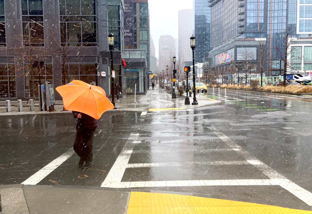
This incoming storm may deliver substantial rainfall across much of the state, with the possibility of wet snow or mixed precipitation in the elevated regions of Western Massachusetts. The weather system is projected to arrive on Friday, with some effects potentially lingering into the weekend.
Current Weather Conditions
As Sunday comes to a close, drier, cooler, and breezy weather is settling in across Massachusetts. A low-pressure system that prompted unsettled conditions this weekend is moving away into the Gulf of Maine. Wind gusts from the west are reaching up to 30 mph but are expected to taper off overnight.
Despite the chill, overnight temperatures on Sunday are predicted to remain above freezing, ranging from the mid-30s to lower 40s throughout most of the state, while coastal regions will likely stay in the low to mid-40s. Some valleys in Central and Western Massachusetts may experience lows in the lower 30s by early Monday morning.
Forecast for Monday and Beyond
Monday’s weather is anticipated to bring more cloud cover than sunshine, along with a chance of showers—particularly in the western and central regions of the state. Meanwhile, eastern Massachusetts may only experience isolated showers.
High temperatures on Monday are forecasted to range from the upper 40s to low 50s in inland areas, with locations near Boston, along the South Shore, and the Cape potentially reaching the upper 50s.
From Tuesday through Thursday, residents can expect predominantly cloudy skies, breezy conditions, and temperatures generally in the 40s and low 50s. Another low-pressure system is anticipated to pass to the northeast on Tuesday, maintaining elevated wind levels across the state.
Midweek Storm System Update
Late Thursday night, a developing storm system is predicted to move into New England. Current forecasts suggest a 40% to 60% chance of accumulating at least an inch of snow in higher-elevation areas of Western Massachusetts. Some regions may witness rain transitioning to slushy snow late Friday night into Saturday.
Overall, Massachusetts is expected to experience predominantly rain, as warmer air from the still-mild ocean is likely to keep temperatures above freezing. Additionally, wind gusts could escalate to 35 mph or more on Friday, resulting in rough conditions at sea.
The National Weather Service warns that the exact trajectory and intensity of the storm remain uncertain, urging residents to stay updated as the weather forecast evolves in the coming days.

Chief Editor of Quincy City Beat — Quincy, MA's independent investigative newspaper covering Greater Boston and the entire Commonwealth of Massachusetts with fearless public accountability and free access for all readers.








Discussion about this post