

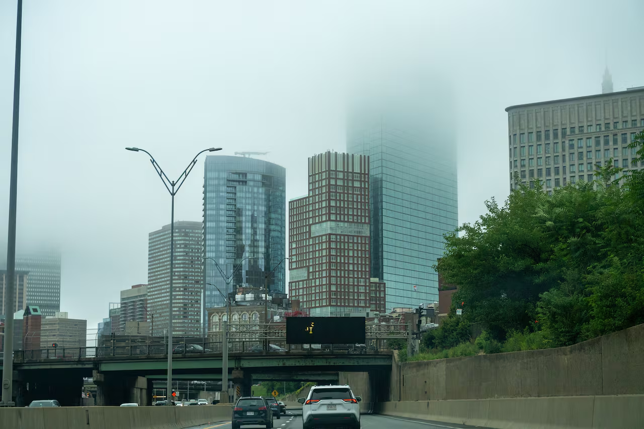
Storm System to Impact Massachusetts Through the Weekend
A slow-moving storm system is set to bring a series of showers to Massachusetts starting Wednesday night and continuing into the weekend, as reported by the National Weather Service.
Temperature Forecast
Temperatures on Wednesday night are projected to fall into the mid-30s to low 40s throughout the state, with slightly warmer conditions expected along the coast. Rain is anticipated to start in Western Massachusetts early Thursday morning.
Weather Conditions on Thursday
Thursday’s high temperatures will likely range from the low to upper 40s in the western part of the state, while the eastern regions could see highs in the upper 40s to mid-50s. The coldest temperatures are forecasted for the Berkshires and northern Central Massachusetts, with Southeastern Massachusetts experiencing the warmest weather.
As the storm progresses eastward, early showers are expected in Eastern Massachusetts, transitioning to a more consistent rainfall by late afternoon and into the evening. By 5 p.m. on Thursday, widespread rain is predicted across the state, continuing into Friday.
Cold Front and Rain Persistence
Overnight Thursday, temperatures are forecasted to drop to the low to mid-30s in the western regions and low to mid-40s in the eastern areas. On Friday, a cold air mass will maintain high temperatures in the mid-30s to low 40s as rainfall persists. A northerly wind will amplify the chill, adding to the already cold temperatures and precipitation.
Potential for Snow
Forecasters are keeping a close watch on the possibility of rain turning into wet snow, particularly in elevated areas like the Berkshires and Worcester Hills. The National Weather Service projects that the higher elevations may receive between a coating to 2 inches of heavy, slushy snow, with a slim chance of reaching up to 3 inches in the most elevated spots.
Even regions near I-95 have a slight possibility of experiencing a brief rain-snow mix, contingent on the storm’s final trajectory. A more definitive forecast regarding snow potential is expected within the next 24 hours.
Weekend Weather Outlook
Following the cold and wet conditions on Friday, the weekend should offer some relief, albeit still cool. Saturday is predicted to be mostly dry, but brisk northwest winds will make mid- to upper 40s temperatures feel closer to the mid-30s or low 40s.
Saturday night will bring colder conditions, with temperatures dipping into the 20s and 30s across the state. As high pressure builds on Sunday and into early next week, residents can expect a stretch of dry and calmer weather.

Chief Editor of Quincy City Beat — Quincy, MA's independent investigative newspaper covering Greater Boston and the entire Commonwealth of Massachusetts with fearless public accountability and free access for all readers.








Discussion about this post