

Massachusetts Weather Forecast: Rainy Weekend Ahead
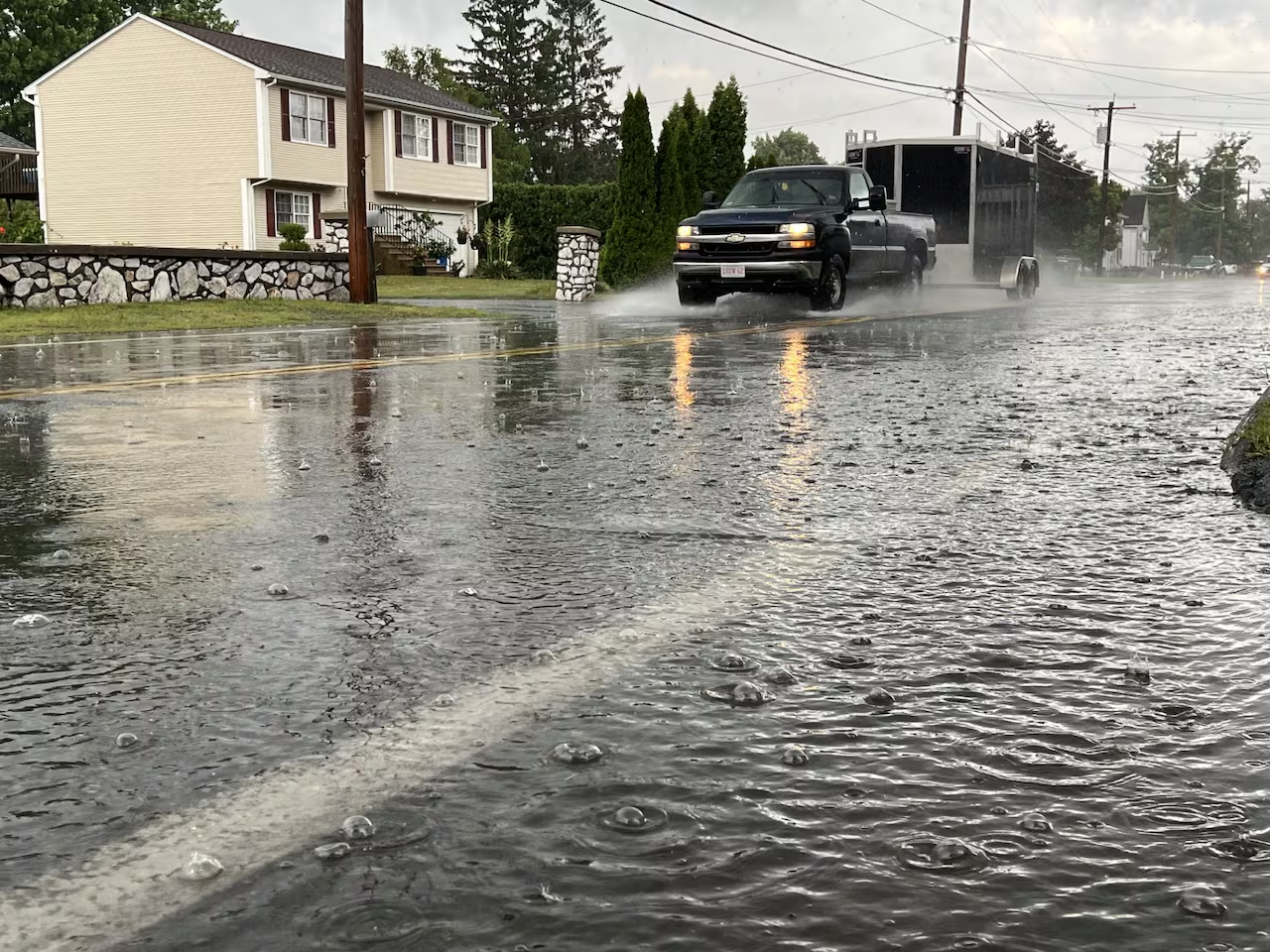
A slow-moving storm system is set to bring damp and gloomy conditions to Massachusetts through Sunday morning, with an anticipated shift to drier weather later in the day.
Saturday’s Outlook
Showers will continue to develop throughout Saturday afternoon and evening, particularly affecting northern and eastern regions of Massachusetts. While rain amounts are expected to be light, persistent cloud cover and showers will contribute to a chilly November atmosphere.
Temperatures will vary statewide on Saturday, with Boston projected to reach 61 degrees. Springfield and Worcester are expected to be slightly warmer, with forecasts of 63 and 60 degrees, respectively. In contrast, cooler temperatures are predicted further west, with Pittsfield peaking around 52 degrees, while Hyannis may reach a high of 59 degrees.
Overnight lows on Saturday will generally range from the upper 30s in western Massachusetts to the mid-40s around Boston and Cape Cod.
Specific Local Forecasts for Saturday
- Boston: High 61°, Low 45°, slight chance of rain with patchy fog.
- Hyannis: High 59°, Low 45°, mostly cloudy with a chance of rain after 3 AM.
- Pittsfield: High 52°, Low 39°, showers likely mainly after 4 PM.
- Springfield: High 63°, Low 42°, chance of rain with mostly cloudy skies.
- Worcester: High 60°, Low 41°, chance of rain with patchy fog after 4 PM.
Sunday’s Weather Developments
Rain is projected to move into eastern Massachusetts, including the Boston area, around 3 to 4 AM on Sunday. Northern Massachusetts is likely to experience the highest rainfall amounts before the storm gradually shifts toward the Gulf of Maine.
Conditions are expected to improve from southwest to northeast throughout Sunday morning, with Cape Cod and the Islands being the last regions to witness clear skies and drier weather, as unsettled conditions may persist into the afternoon.
By Sunday afternoon, pockets of sunshine could emerge across much of Massachusetts, with high temperatures again anticipated to range from the lower to mid-50s.
Wind and Workweek Forecast
The shift to drier weather will be accompanied by increasingly brisk conditions, especially along the coast, where northwest winds may gust between 20 and 30 mph.
The start of the workweek looks to be considerably calmer, with Monday through Wednesday expected to feature a blend of clouds and sunshine, primarily dry conditions. High temperatures are predicted to hover in the upper 40s in elevated areas and western Massachusetts, while coastal towns could see mid-50s.
Forecasters are also monitoring the potential for another storm system later in the week.

Chief Editor of Quincy City Beat — Quincy, MA's independent investigative newspaper covering Greater Boston and the entire Commonwealth of Massachusetts with fearless public accountability and free access for all readers.








Discussion about this post